Geospatial Risk Modeling
Understanding Crime Through Spatial Analysis
Predictive policing uses geospatial modeling to forecast crime patterns and improve resource allocation. This study analyzes weapons violations in Chicago to identify high-risk areas, using a combination of spatial clustering, regression models, and kernel density estimation (KDE).
However, crime data often reflects law enforcement patterns rather than actual crime distribution. This project examines bias in reporting, spatial risk factors, and alternative intervention strategies beyond policing.
Data & Methodology
Dataset 2017 weapons violations from Chicago Open Data.
Independent Variables
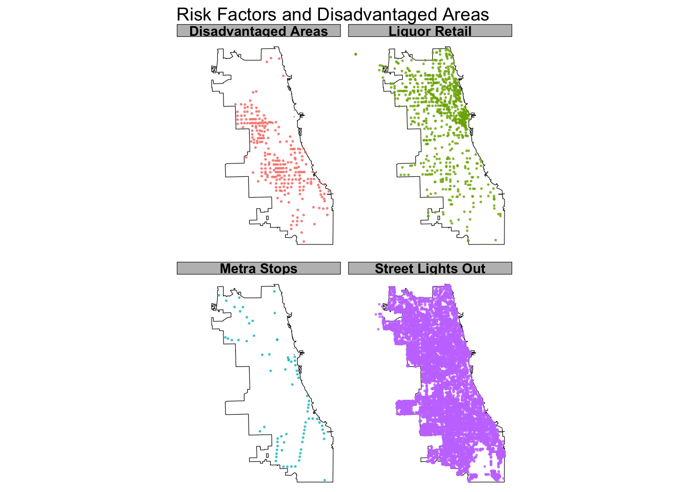
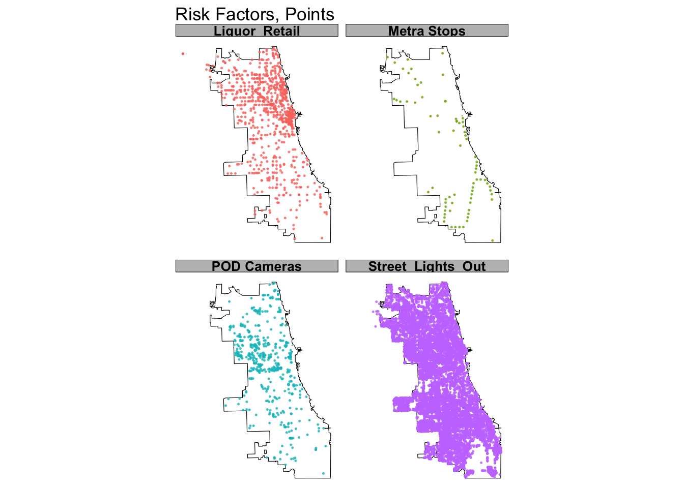
Metra Stations (potential low-surveillance areas)
POD Cameras (bias in detection patterns)
Streetlight Outages (dark areas may increase crime)
Liquor Retail Locations (social activity hubs linked to crime)
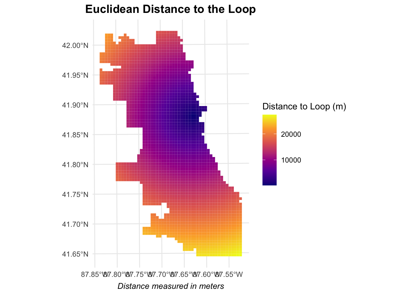
All risk factors were spatially aligned using a fishnet grid for analysis.
Identifying Crime Hotspots & Model Performance
Local Moran’s I revealed high-high clusters of weapons violations in the city center, West Chicago, and South Chicago.
Kernel Density Estimation (KDE) validated hotspot locations, showing crime persistence across years.
Spatial regression outperformed standard models, confirming that crime distribution is spatially dependent.
Mean Absolute Error (MAE) was lower in models incorporating spatial risk factors, demonstrating better predictive performance.


Key Findings
Weapons violations correlate strongly with POD cameras, suggesting crime data reflects where police look, not where crime actually happens.
Crime hotspots remain stable over time, indicating predictive policing can identify persistent risk areas.
Models underestimate crime in non-white neighborhoods, revealing bias in crime reporting.
Rethinking Predictive Policing
Predictive models risk reinforcing over-policing in marginalized communities.
Instead of increasing law enforcement, this study suggests alternative urban interventions:
Improve street lighting in high-risk areas to increase visibility.
Adjust liquor zoning laws in crime-dense neighborhoods.
Implement community-led safety initiatives rather than relying solely on predictive policing.
Use alternative data sources, such as hospital reports or 911 calls, to reduce bias.
By rethinking predictive policing beyond law enforcement, this study moves toward fairer, data-driven crime prevention strategies.